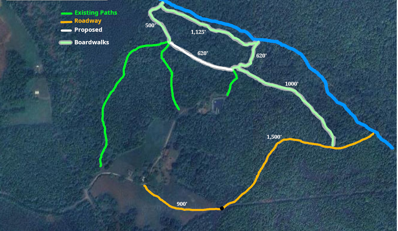
These are some images of the ground the paths will be developed on. At the end is a map with lengths of path segments.

There are two alternative path entry points.

One is down the access road. It would actually be more wheelchair accessable as a parking area and the paths would all be on the relatively level riparian zone along beaver creek.

The second is parking at Sophia house and then going down by the firepit. This entry involves two significant inclines to manage. One from Sophia parking down to the dam, and then from the firepit down to the creek path on the riparian zone.

Entry by Access Road

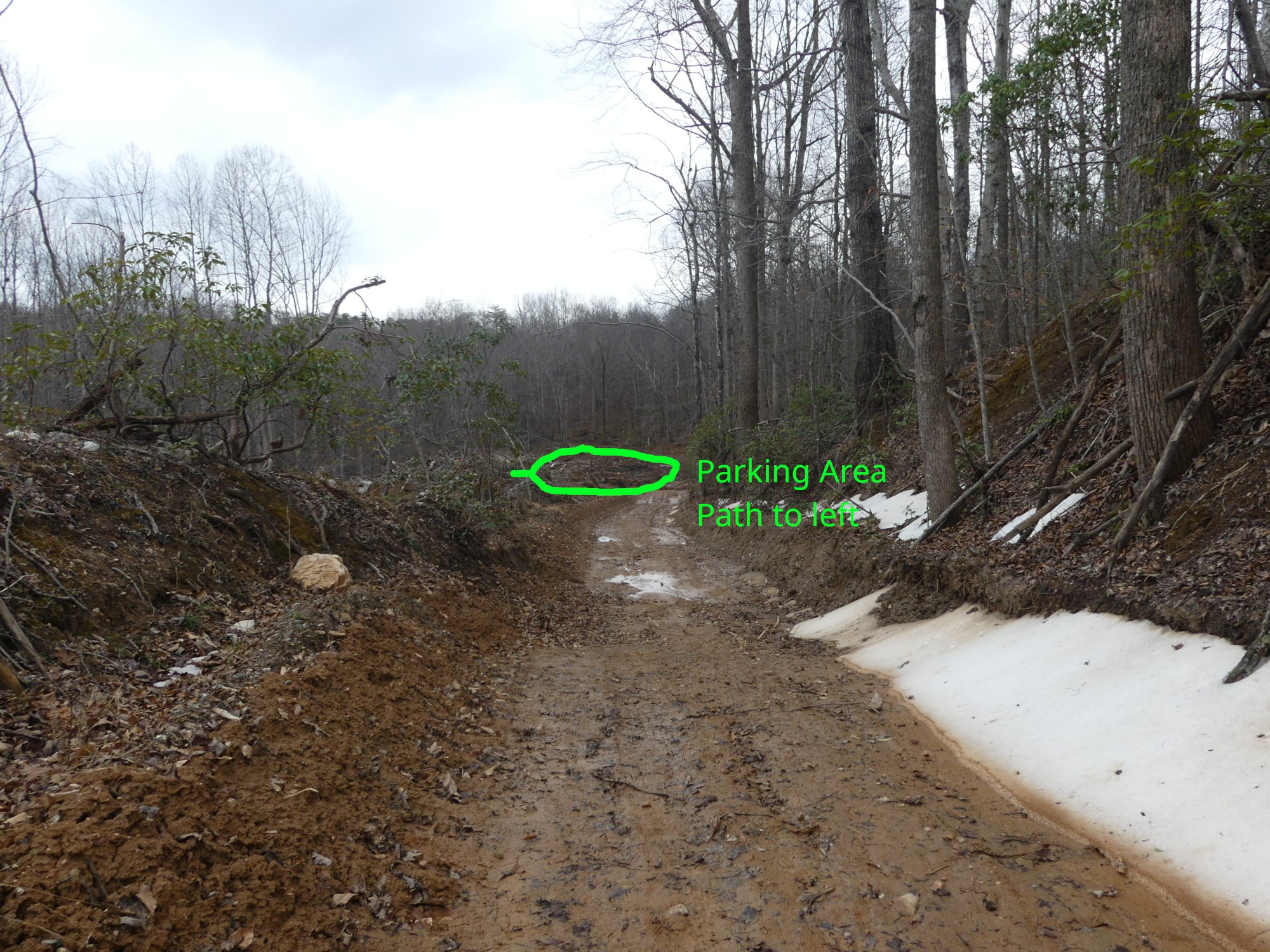
Visitors would enter existing CPL driveway to farmhouse. Then use our field path to gate at top of Access Road hill. Then down the Access Rd to where it enters the riparian zone. A parking area would be constructed there, and a boardwalk path would be built to connect to the existing Creek paths.

A dirt trail running through a grassy field with trees on the left and right, and a cloudy sky above.

Field Path

Approx 900’ from driveway to access rd. Near the far end a new diagonal can be cut to ease up slope.

A dirt trail in an open field with trees in the background. There are green and white lines indicating a new trail cut and an existing trail, with labels noting 'New cut' and 'Existing'.
A dirt trail winding through a leafless forest with bare trees and fallen leaves on the ground.

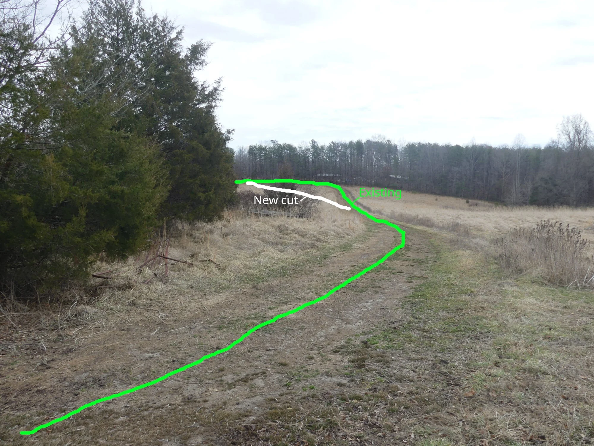
The above Field Road meets the esisting Access Rd at the top of a hill, and from there down to the proposed parking area is about 1700’

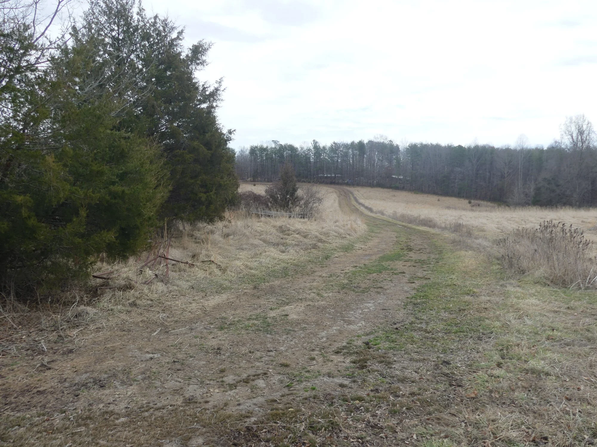
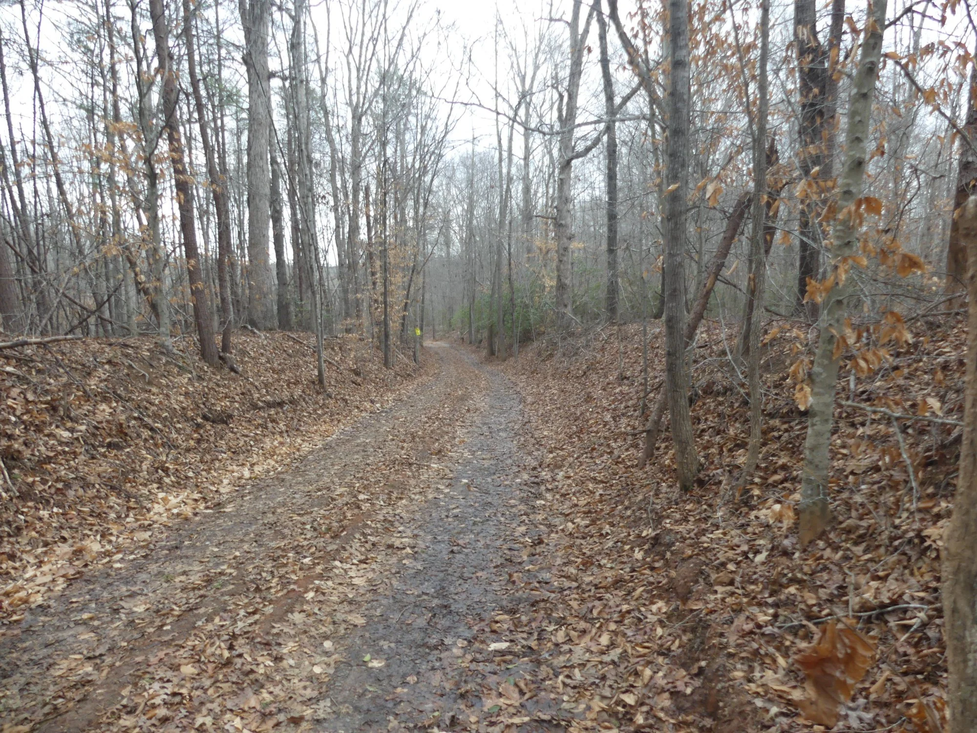
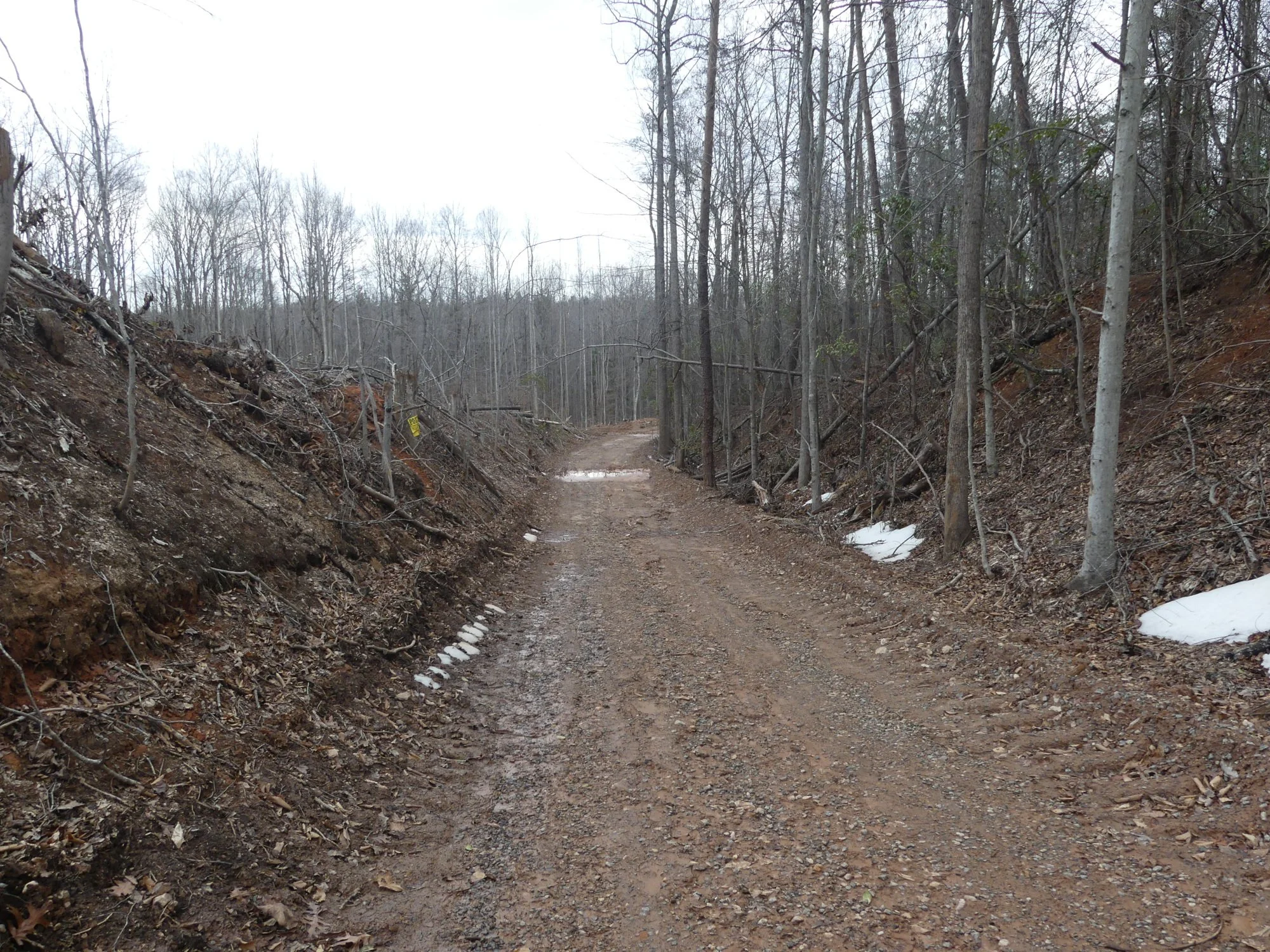
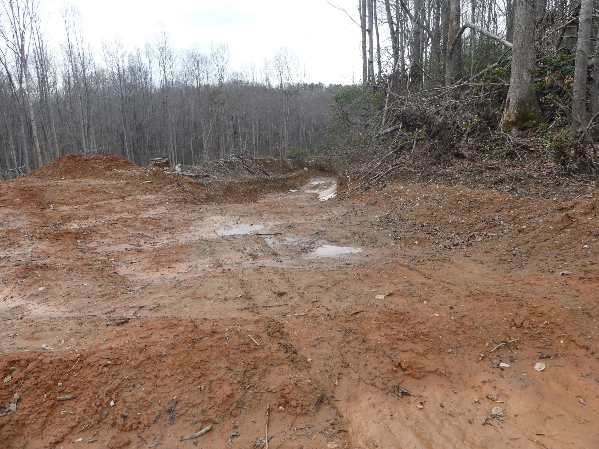
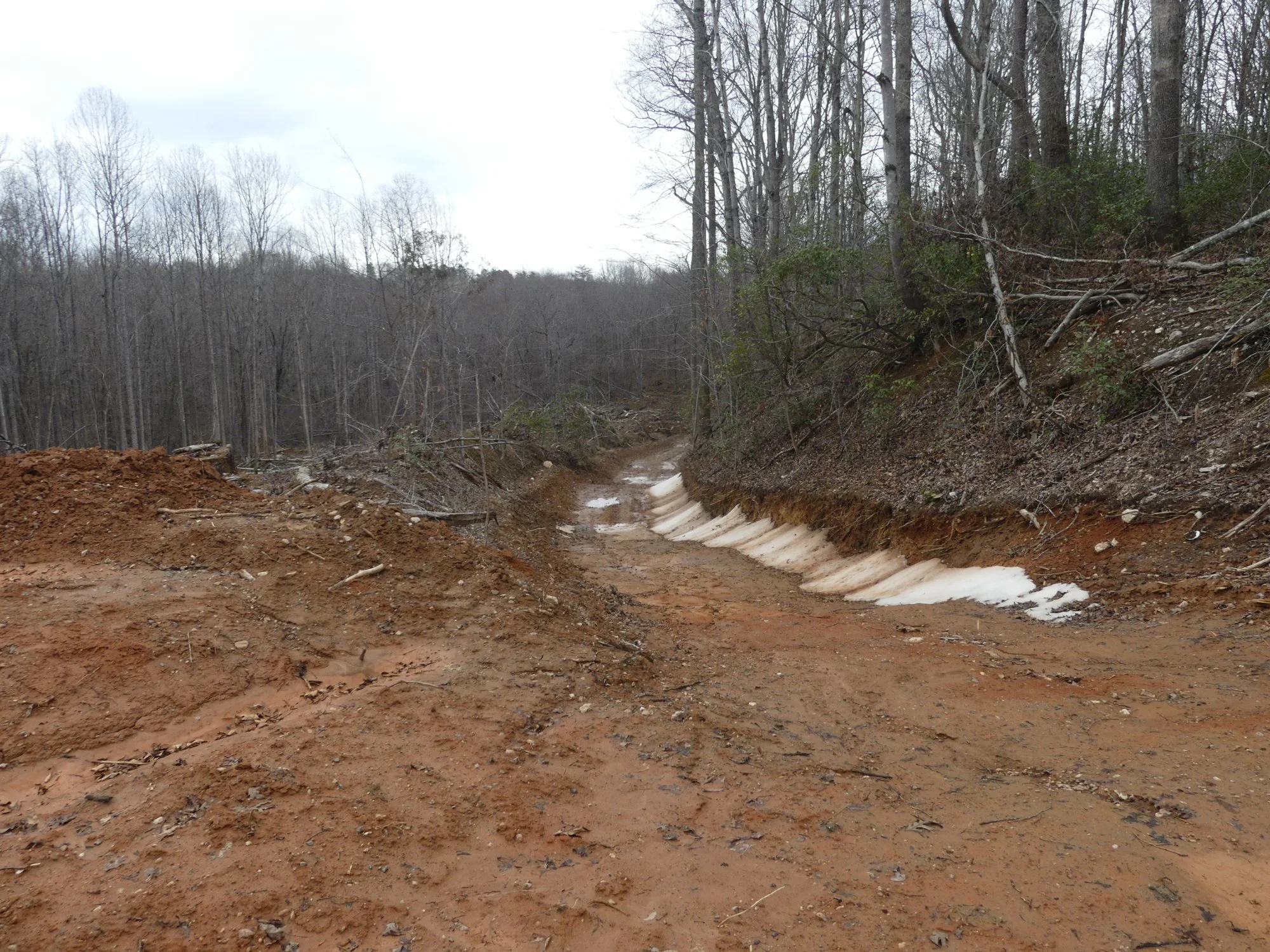
This and following, is a series of pictures of moving down the Access road. The top half is firm enough to walk and drive on. The bottom half is slippery and mushy red clay. I was unable to walk clear to the bottom.

I am thinking the Access Rd will need to be widened to the left for a drainage ditch. Right now all water runs down the road itself. Especially a bit further down.

Both the Field Road and the Access road will need to be graveled their entire length

A dirt trail through a wooded area with leafless trees and patches of snow on the ground.
A dirt and muddy trail through a leafless forest in winter.
A dirt road in a wooded area with trees on both sides, some snow patches along the side of the road, leafless trees indicating late fall or winter.
Dirt trail through a wooded area with snow patches on the sides. A green handwritten note indicates a parking area and a path to the left.

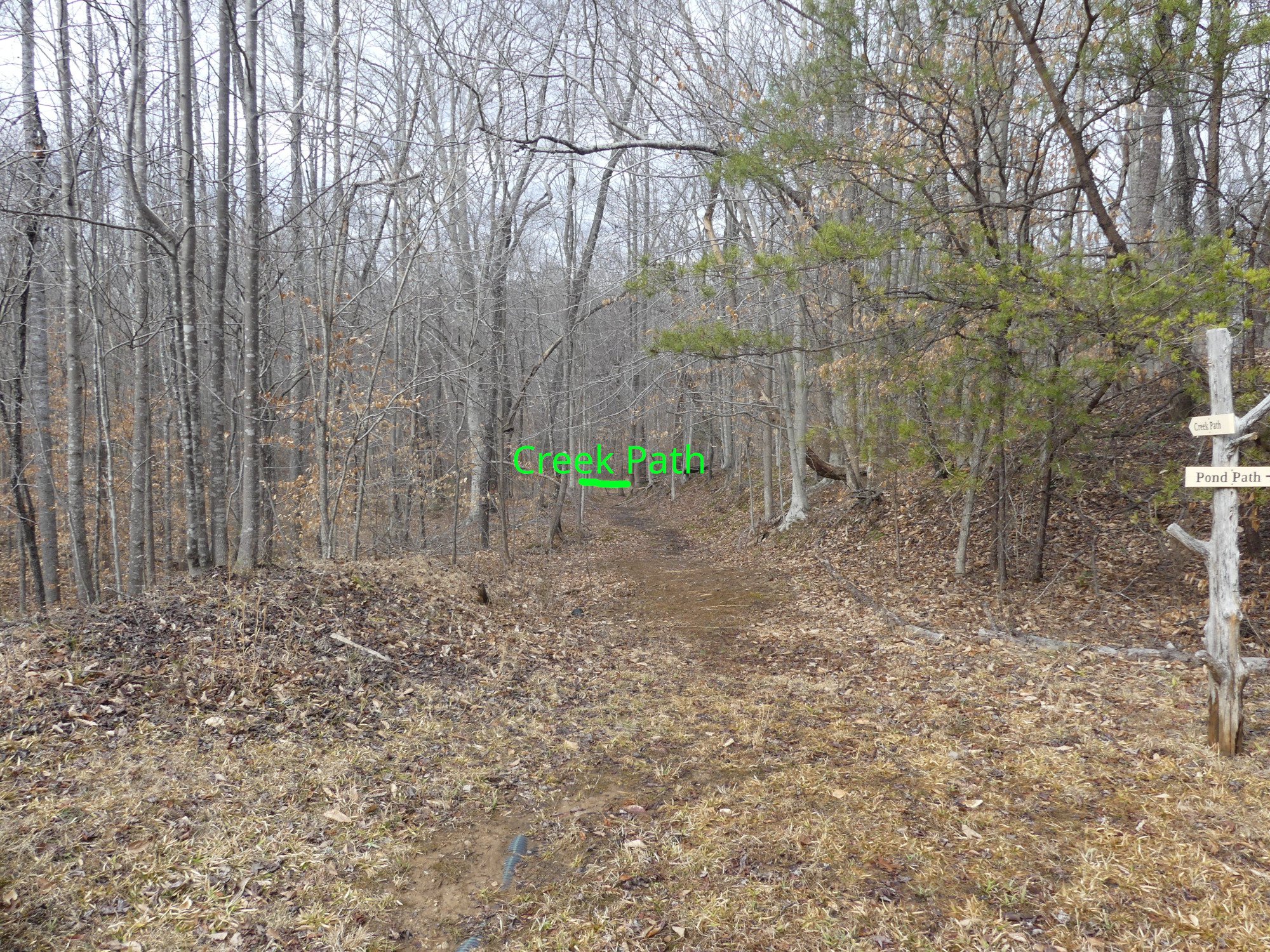
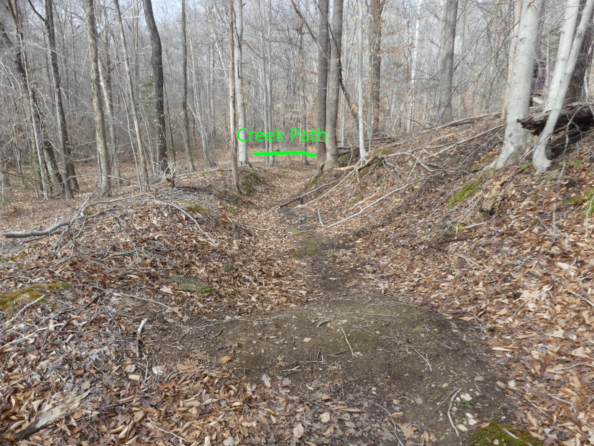
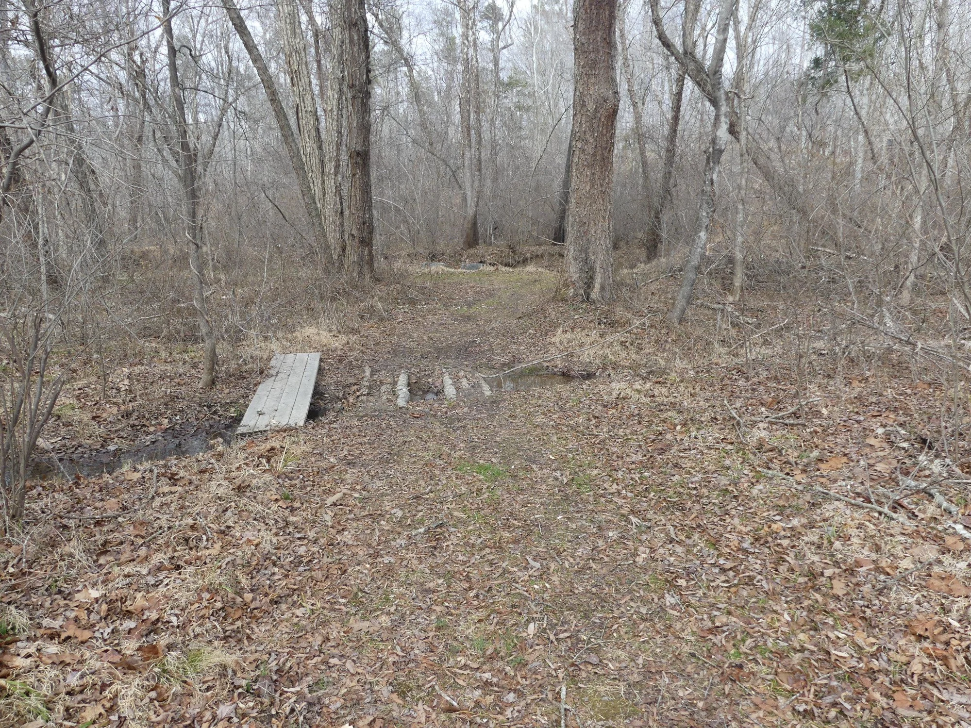
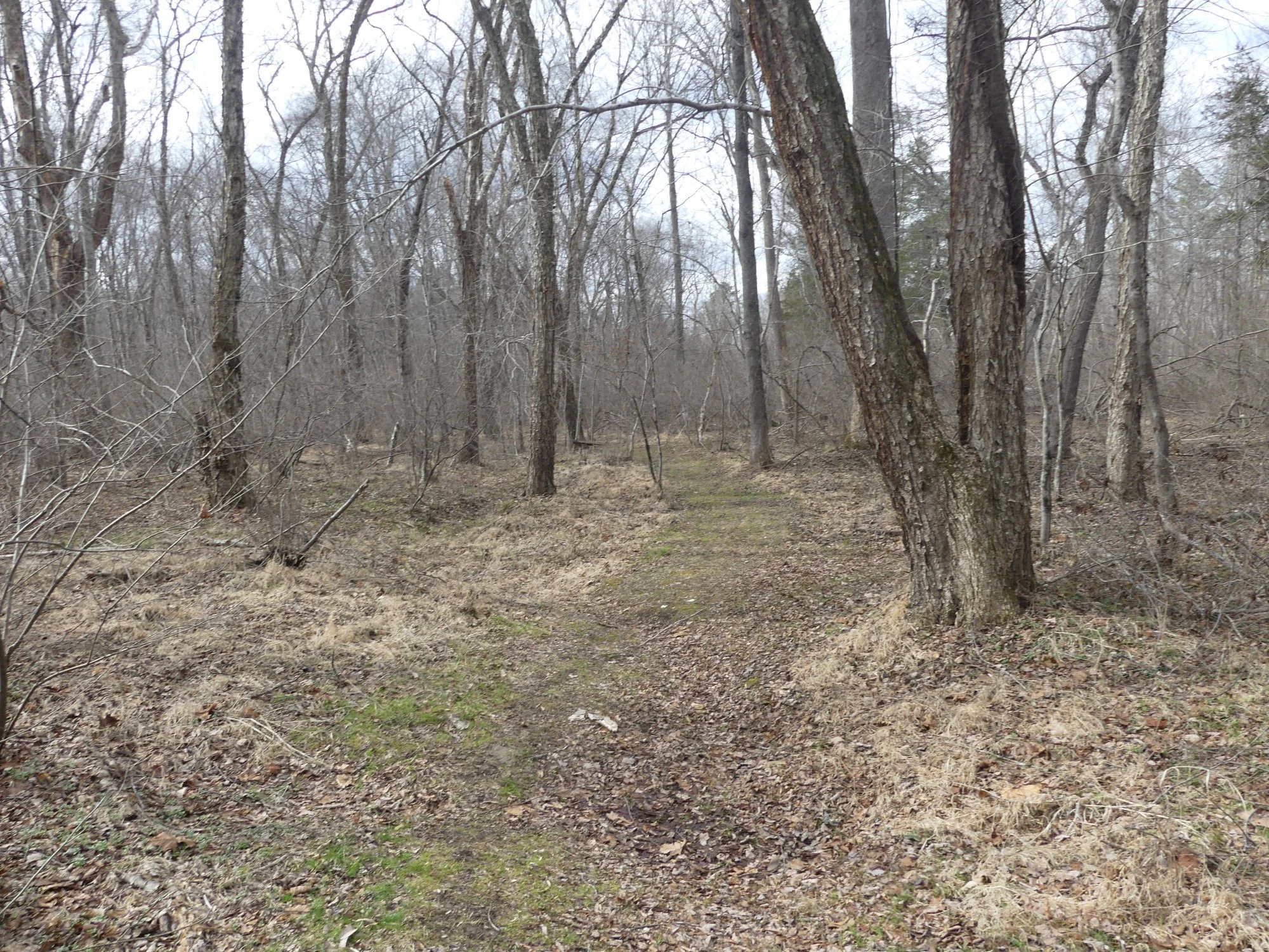
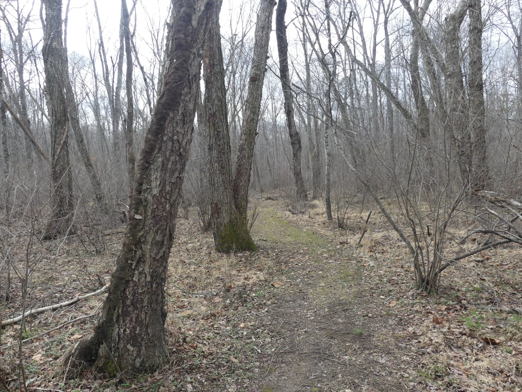
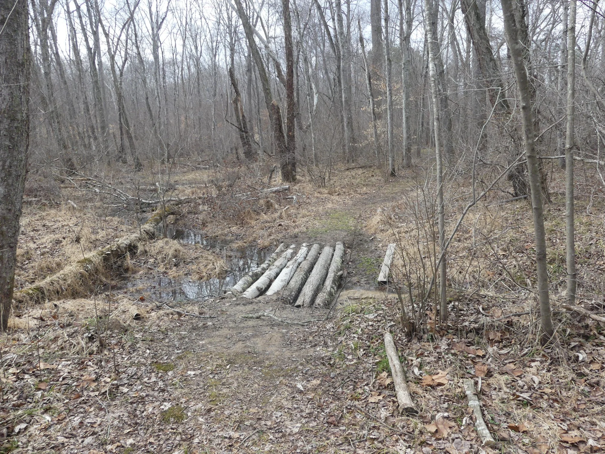
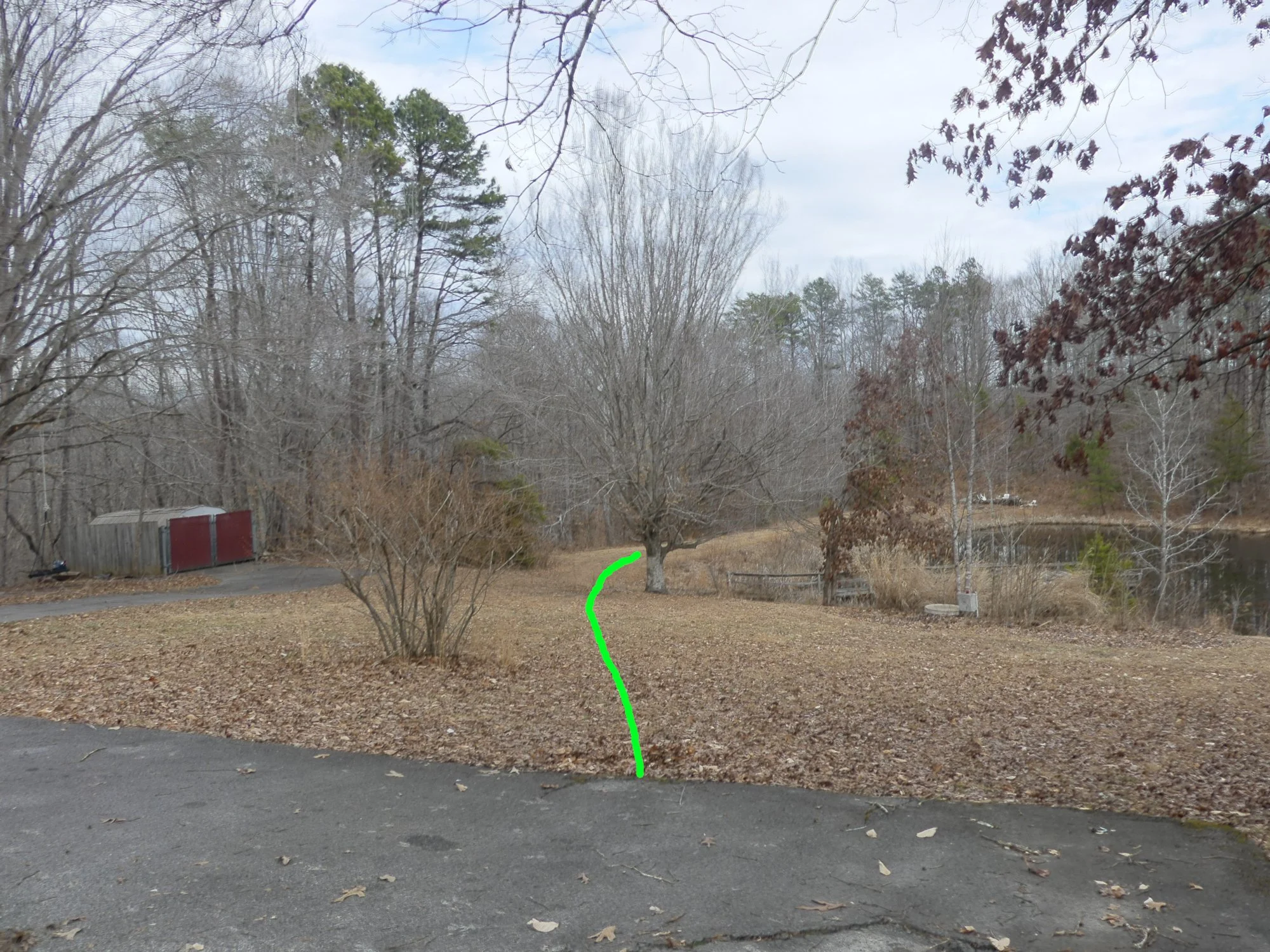
Some images of existing paths

To be made into board walks.

A dirt trail in a leafless forest with a wooden plank crossing a small ditch on the left side.
A dirt trail through a leafless forest with a fallen tree or wooden bridge on the path, during late fall or early winter.

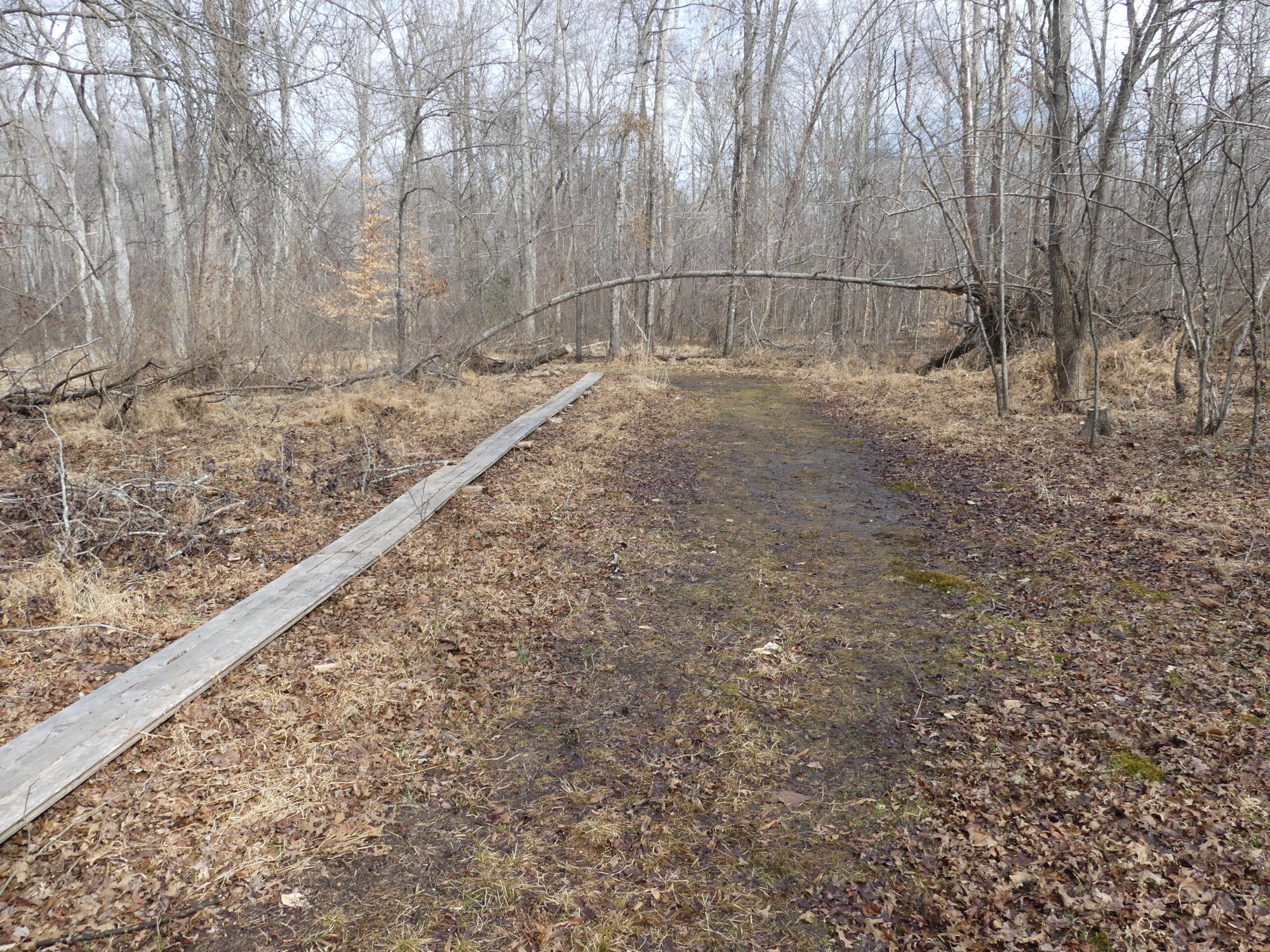
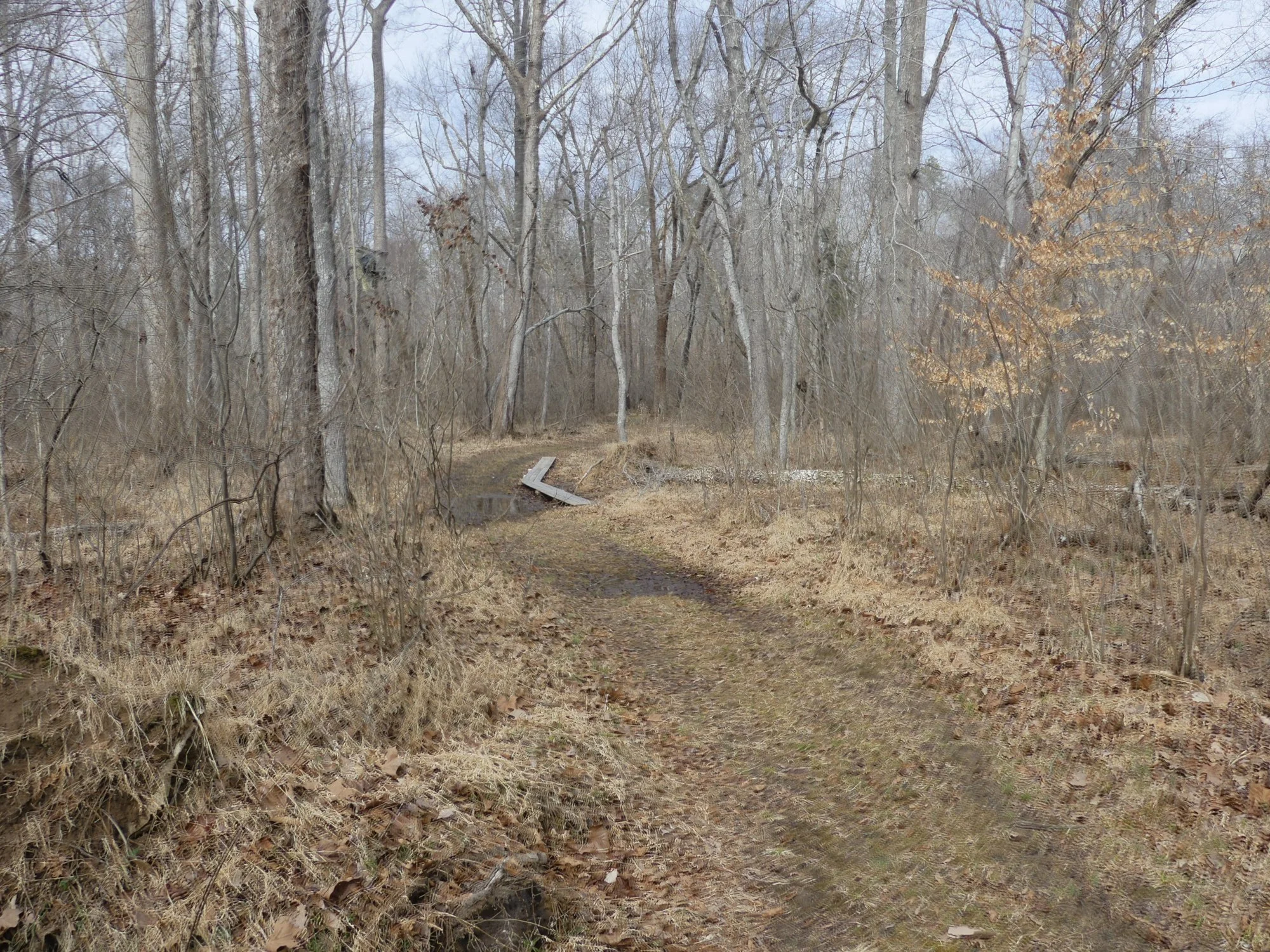
Places with little dips will need to be bridged (so water can drain under them)

A forest trail with a small wooden footbridge crossing a shallow creek, surrounded by leafless trees and fallen leaves on the ground.
A dirt trail running through a leaf-strewn forest with leafless trees and a cloudy sky.
A dirt trail winding through a bare, leafless forest during late fall or winter with gray sky.
A small wooden bridge made of logs crossing a narrow creek in a leafless forest during early spring or late fall.

Alternative Entry at Sophia House

There is a steep slope from the parking area down to the dam.

A landscape scene with a paved area in the foreground, leafless trees, and a small pond or lake in the background. The sky is partly cloudy.

There is another sizable slope from the far end of the dam down to the creek path at the riparian zone.

A dirt trail surrounded by leafless trees with a signpost on the right marking 'Creek Path' and 'Pond Path'.
A dirt trail in a wooded forest with fallen leaves and bare trees. Green text reads 'Creek Path' with an arrow pointing right.
Map of a forested outdoor area showing existing paths in green, proposed paths in white, roadway in orange, and boardwalks in light green, with distance markers from 500 to 1500 feet.